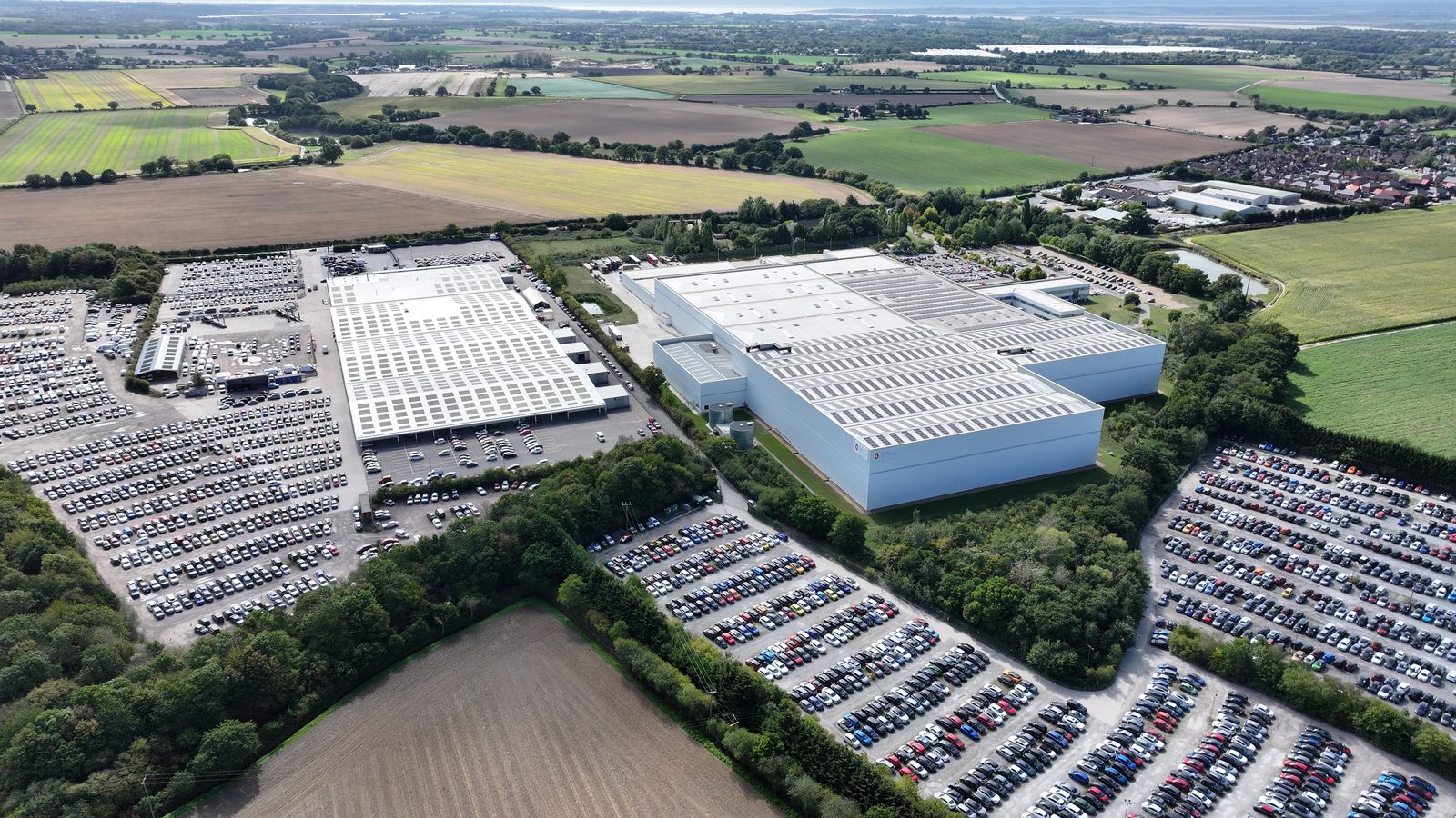
A drone roof condition survey for commercial solar PV is a systematic aerial inspection of a building's roof envelope conducted by a UAV-equipped survey team, producing a condition assessment report that documents defect type, severity, and location across the full roof surface. It is not a structural assessment, the drone survey does not assess whether the building can carry the weight of a solar array. It is a condition assessment: it tells you what the roof is like now, before any additional loading is placed on it.
The distinction matters because the two assessments answer different questions. The structural survey answers: can this building structurally support the proposed array? The drone condition survey answers: what is the current condition of the roof, and are there any defects that would compromise the installation or the building envelope after the array is installed? Together, they provide the complete pre-installation picture that project teams, lenders, and insurers need.
This guide covers what a drone roof condition survey involves, what the UAV equipment detects, how the survey report is structured, and how the drone survey integrates with structural assessment and solar pre-installation planning.
What a Drone Roof Condition Survey Involves
A drone roof condition survey is conducted by a CAA-authorised UAV operator using a multirotor drone equipped with a high-resolution camera system. The drone is flown in a systematic pattern over the roof surface, capturing overlapping imagery at multiple angles and from multiple heights to ensure complete coverage. For large or complex roofs, multiple flight patterns may be required.
The survey captures imagery of the full roof surface at a resolution sufficient to identify defects of engineering significance. For commercial rooftop solar pre-installation surveys, the minimum useful resolution is 4K (approximately 8 megapixels per frame), with 8K systems providing sub-centimetre resolution at typical survey altitudes that enables identification of hairline cracking, early-stage delamination, and fine substrate deterioration that lower-resolution systems miss.
The UAV operator is required to hold a CAA Permission for Commercial Operations (PfCO) or A2 Certificate of Competency (A2 CofC) for operations near people or property. For commercial rooftop surveys, operations typically take place within 50 metres of structures, which requires appropriate permissions and operational risk assessment. Drone operators without the appropriate authorisation are not legally permitted to conduct commercial operations in these conditions, and surveys conducted without correct authorisation have no professional standing for insurance or lender purposes.
What the Drone Survey Detects
A drone roof condition survey systematically inspects and documents the condition of the roof envelope across several categories of potential defect:
Membrane and substrate condition. For single-ply membrane and built-up felt roofing, the survey identifies blistering, cracking, lap-seal failures, membrane shrinkage, and areas of exposed felt or substrate. For steel cladding (common on portal frame warehouses), the survey identifies corrosion progression, cladding deformation, sealant failure at laps and ridges, and impact damage.
Drainage performance. The survey maps roof drainage points and identifies blockages, ponding zones (areas of standing water evidenced by tide-marks, algae growth, or deflection), and debris accumulation that restricts outlet flow. Inadequate drainage beneath a PV array creates accelerated membrane deterioration and increases the risk of water ingress through fixing penetrations.
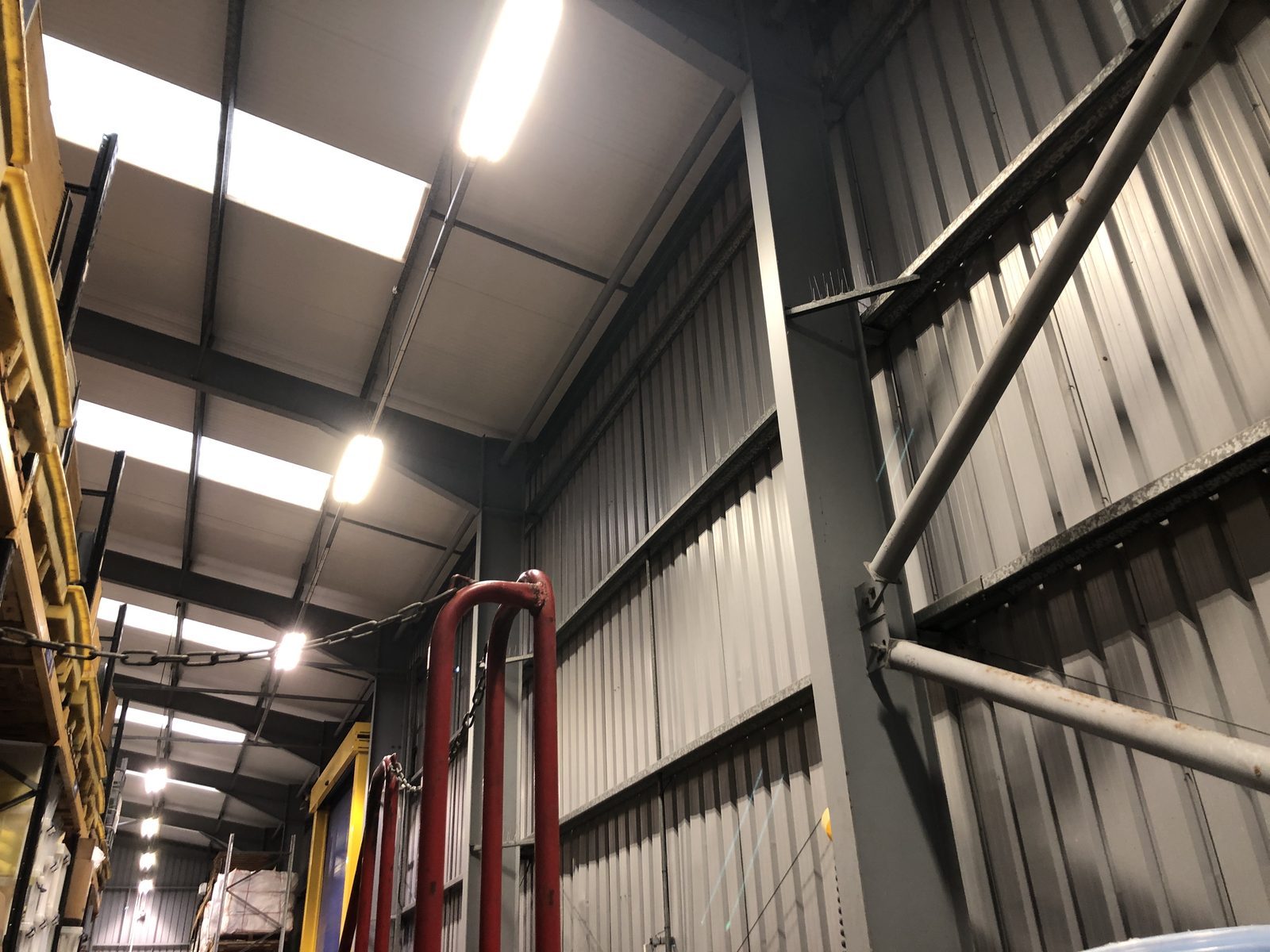
Structural indicators. While the drone survey is not a structural assessment, the aerial imagery captures visible indicators of structural behaviour: purlin deflection visible as waves or hollows in the cladding surface, frame settlement visible as misalignment of ridge and eaves lines, and localised deformation associated with overloading or section loss. These indicators are flagged for structural engineering review rather than assessed definitively by the drone survey team.
Roof services and penetrations. The survey maps existing roof-mounted services (HVAC, extraction, smoke vents, rooflight lines), penetrations, and edge details. This mapping is directly useful for array layout planning, identifying obstruction zones, defining exclusion areas around services, and confirming the available roof area for the proposed installation.
Thermal imaging (where specified). Where a thermal imaging payload is used alongside the visible-light camera, the survey adds subsurface defect detection: wet insulation beneath the membrane, heat loss through roof penetrations, and moisture ingress that is not visible at the surface. Thermal imaging is particularly valuable for flat roofs where surface condition alone does not reveal the extent of subsurface moisture that may complicate PV fixing.
Defect Classification and Severity Grading
The drone condition survey report classifies defects by type and grades them by severity. A standard severity grading system for commercial rooftop defects distinguishes between: Category 1 (immediate action required, defects that present a current risk to building integrity or that must be remediated before PV installation can proceed); Category 2 (action required within six months, defects that do not present an immediate risk but will deteriorate without intervention); and Category 3 (monitor, defects noted but not requiring immediate action, to be reassessed at the next scheduled inspection).
For solar PV pre-installation surveys, the category classification has direct programme implications. Category 1 defects must be remediated before installation. Category 2 defects should be remediated before installation where possible, as the presence of a PV array over an unaddressed defect can accelerate deterioration and complicate future remediation. Category 3 defects are noted and included in the condition baseline, against which future condition surveys can compare.
The Drone Survey Report, Structure and Contents
The drone condition survey report is a structured document that presents the survey findings in a format useful for project teams, facilities managers, and lenders. A well-produced report for commercial solar pre-installation surveys includes: an executive summary with overall condition rating and key findings; a site plan marking defect locations with reference numbers; a photographic schedule with annotated high-resolution images for each identified defect; a defect schedule with severity grading, recommended action, and priority; a drainage assessment summary; a roof services mapping plan; and a section on solar PV installation implications, highlighting any condition constraints that should be incorporated into the installation specification.
The solar PV installation implications section is the element that most directly serves the pre-installation decision process. It translates the condition findings into actionable guidance for the installation team: whether remediation is required before installation, whether any areas of the roof should be excluded from the array footprint due to condition issues, and whether the fixing specification should be adjusted in areas of reduced substrate integrity.
Integrating the Drone Survey with Structural Assessment
The most efficient approach to pre-installation survey is to combine the drone roof condition assessment with the structural survey as a single combined instruction. Where the structural engineer and the drone survey team attend on the same day, the total mobilisation cost is shared, scheduling is simplified, and the outputs are delivered in a coordinated format that enables a unified pre-installation engineering picture.
The combined report is more useful than two separate reports because it allows cross-referencing between structural and condition findings. A drone survey finding of purlin deflection visible in the cladding surface is more meaningfully interpreted when the structural engineer who has assessed the structure from inside the building can correlate the visible deflection with the calculated utilisation ratio. A structural report finding of loading at the capacity margin is more meaningfully acted upon when the drone survey has confirmed the roof cladding condition in the critical zones.
Survey Requirements for Different Building Types
Drone roof condition surveys for solar PV pre-installation are required or strongly recommended in the following circumstances: large or complex roofs where the full condition cannot be adequately assessed from ground level or internal inspection; roofs with a history of maintenance issues or reported leaks; roofs that have not had a recent condition survey and whose condition is therefore unknown; older buildings where condition deterioration is more likely; and projects where lender or insurer requirements specify an independent condition survey.
For straightforward modern buildings with recent maintenance records, a drone survey may not be mandatory before PV installation, but it remains valuable as a baseline condition record against which post-installation changes can be compared, and as evidence for the building owner that the installation was preceded by an independent condition assessment.
Post-Flight Data Processing: From Raw Footage to Condition Report
The drone flight itself represents only a fraction of the time and effort in a commercial drone roof condition survey. Processing the raw footage, reviewing, annotating, classifying, and reporting the findings, is where the majority of the professional time is invested, and the quality of this process determines whether the survey output is a comprehensive condition record or a collection of images without actionable context.
Standard commercial drone survey data processing begins with a systematic review of the captured imagery against the pre-defined flight plan, confirming that all planned passes were completed and that image coverage of all roof areas, including ridge, verge, eaves, penetrations, and any previously identified areas of concern, is confirmed. Any gaps in coverage, caused by flight restrictions, on-site obstructions, or equipment issues, are recorded and reported as limitations of the survey.
Defect identification and classification follows the imagery review. A rigorous commercial drone survey report classifies defects by type (cracking, delamination, pooling water, corrosion, displaced flashings, blocked outlets, vegetation growth, damaged sheeting) and by severity (minor, moderate, severe, or requiring immediate attention). Each defect is geolocated on a roof plan or orthomosaic image with a reference number that allows the building manager or maintenance contractor to locate it precisely on the roof. This geolocation is a significant practical improvement over traditional inspection reports, which often rely on verbal descriptions of defect location that are difficult to act on without local knowledge of the roof.
The condition report also addresses the roof’s suitability as a substrate for solar PV installation, which is the primary purpose of a pre-installation drone survey. This requires more than a defect count, it requires an assessment of whether the identified defects are likely to affect the structural or weathertightness performance of the roof under the additional loading and access regime that solar installation and maintenance would introduce, and whether any defects should be remediated before installation proceeds.
Integrating Drone Survey Results with Structural Assessment: The Combined Workflow
Drone roof condition surveys and structural assessments are complementary but distinct workstreams. The drone survey assesses the visible condition of the roof fabric, sheeting, coverings, flashings, drainage, and surface-level defects. The structural assessment evaluates the load-carrying capacity of the primary and secondary structural frame against the proposed PV loading. Neither replaces the other, and for a complete pre-installation picture, both should be completed before installation procurement is finalised.
The integration point between the two is the structural assessment’s load assumptions. Where a drone survey identifies significant deterioration in the roof sheeting, widespread corrosion to steel profile sheeting, cracking in fibre-cement panels, or delamination of built-up membrane, the structural engineer must be informed, as the condition of the sheeting affects both its residual structural contribution and the safe fixing options available. Through-fixing a PV array to deteriorated sheeting may not be viable, and the assessment may need to be revised to use a ballasted or clamp-fixed system that distributes loads differently.
Conversely, where the structural assessment identifies that specific purlins or rafter sections show signs of corrosion or deformation that would require physical inspection to verify, the drone survey footage may be able to provide visual evidence of these elements if they are accessible from the roof surface without requiring access to the building interior. The structural engineer reviewing the drone footage can confirm whether visible corrosion is cosmetic or whether it reaches the structural element in a way that requires on-site investigation before clearance can be issued.
For portfolio projects, combining drone surveys and desktop structural assessments into a single instruction to a single provider streamlines both the data collection and the reporting. A combined report covering both condition assessment and structural capacity assessment presents the complete pre-installation picture in a single document rather than requiring the project team to reconcile findings across two separately issued reports from different firms.
Drone Survey Limitations: When On-Site Access Remains Necessary
Drone surveys are a highly effective tool for commercial roof assessment, but there are specific situations where they cannot substitute for on-site physical access and where the survey scope must be supplemented or replaced by traditional methods.
The primary limitation is the ability to assess sub-surface defects. A drone camera captures what is visible from above the roof surface. Delamination within a flat roof waterproofing membrane, deterioration of insulation boards that is not visible at the surface, moisture ingress that has not yet manifested as surface staining or ponding, and the condition of structural elements beneath the sheeting are all outside the scope of a drone survey. Where these sub-surface conditions are the primary concern, for example, on an ageing built-up bitumen flat roof with a history of leaks, an experienced roofer conducting a physical inspection or a thermal imaging survey may provide more relevant information than drone imagery.
Drone surveys also have practical limitations in urban areas with airspace restrictions, on sites adjacent to airports or airfields, and on buildings in certain protected areas. Where drone operations require CAA permissions or SORA assessments beyond the standard A2 CofC qualification for small unmanned aircraft, survey costs and lead times increase. For routine commercial surveys, these restrictions affect a small minority of sites, but project managers should confirm site-specific airspace status before scheduling a drone survey programme to avoid surprises.
Finally, drone survey evidence is captured at a single point in time and reflects roof condition at the date of the survey. For roofs with seasonal performance concerns, flat roofs that pond water in winter, roofs with drainage outlets that block during autumn leaf fall, a single survey flight may not capture the worst-case condition. Where seasonal variation in roof condition is a relevant factor, the survey should be scheduled at the most informative time of year, or supplemented by a follow-up inspection after a significant weather event.
A drone roof condition survey for solar pre-installation should include four elements beyond standard roof condition reporting: a dedicated solar installation implications section; drainage capacity assessment under proposed array coverage; structural penetration risk assessment at proposed fixing zones; and roof services mapping to identify conflicts with cable routing. Without these, the survey answers the roof condition question but not the solar installation question.
WHERE SOLAR SURVEYS ADDS VALUE
DRONE ROOF CONDITION SURVEYS, 4K TO 8K, BDF & BMFA ACCREDITED
Solar Surveys drone roof condition surveys are conducted by BDF and BMFA accredited UAV operators with £25M drone liability insurance cover. Surveys use 4K to 8K resolution camera systems. Reports are structured for solar PV pre-installation purposes, including a dedicated solar PV installation implications section, defect schedule with severity grading, drainage assessment, and roof services mapping. Combined structural and drone survey instructions are available with a single site visit and coordinated report output.
CLIENT PROFILE
A commercial landlord preparing a 2,400 m2 flat-roofed logistics unit for a solar PV lease arrangement commissioned a combined structural and drone roof condition survey. The drone survey identified a Category 1 membrane failure in a 60 m2 section of the north-west quadrant, a blister and delamination cluster that the tenant's facilities team had not reported. The structural survey concurrently confirmed adequate structural capacity across the full roof. The landlord remediated the Category 1 defect before installation commenced, avoiding the risk of moisture ingress beneath the array. The combined survey was completed in a single four-hour site visit; both reports were delivered within 48 hours.
THE STRUCTURAL TRINITY
Three Reports That Clear a Commercial Solar Site for Installation
READY TO COMMISSION
Get a Quote in 24 Hours.
Structural surveys, Desktop Structural Roof Loading Reports, drone assessments and solar design packages, delivered to a 48-hour benchmark.
Get a Quote