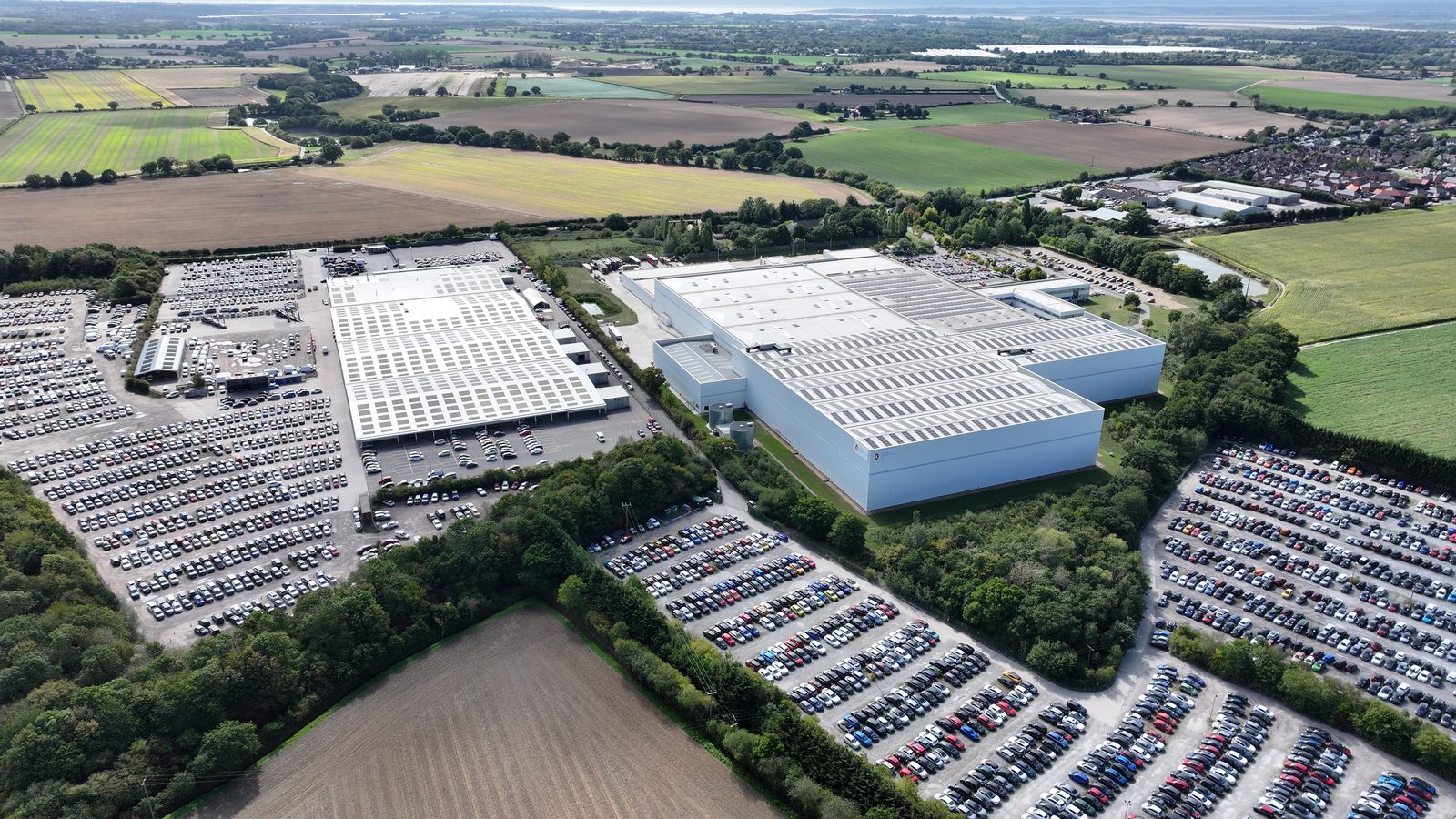
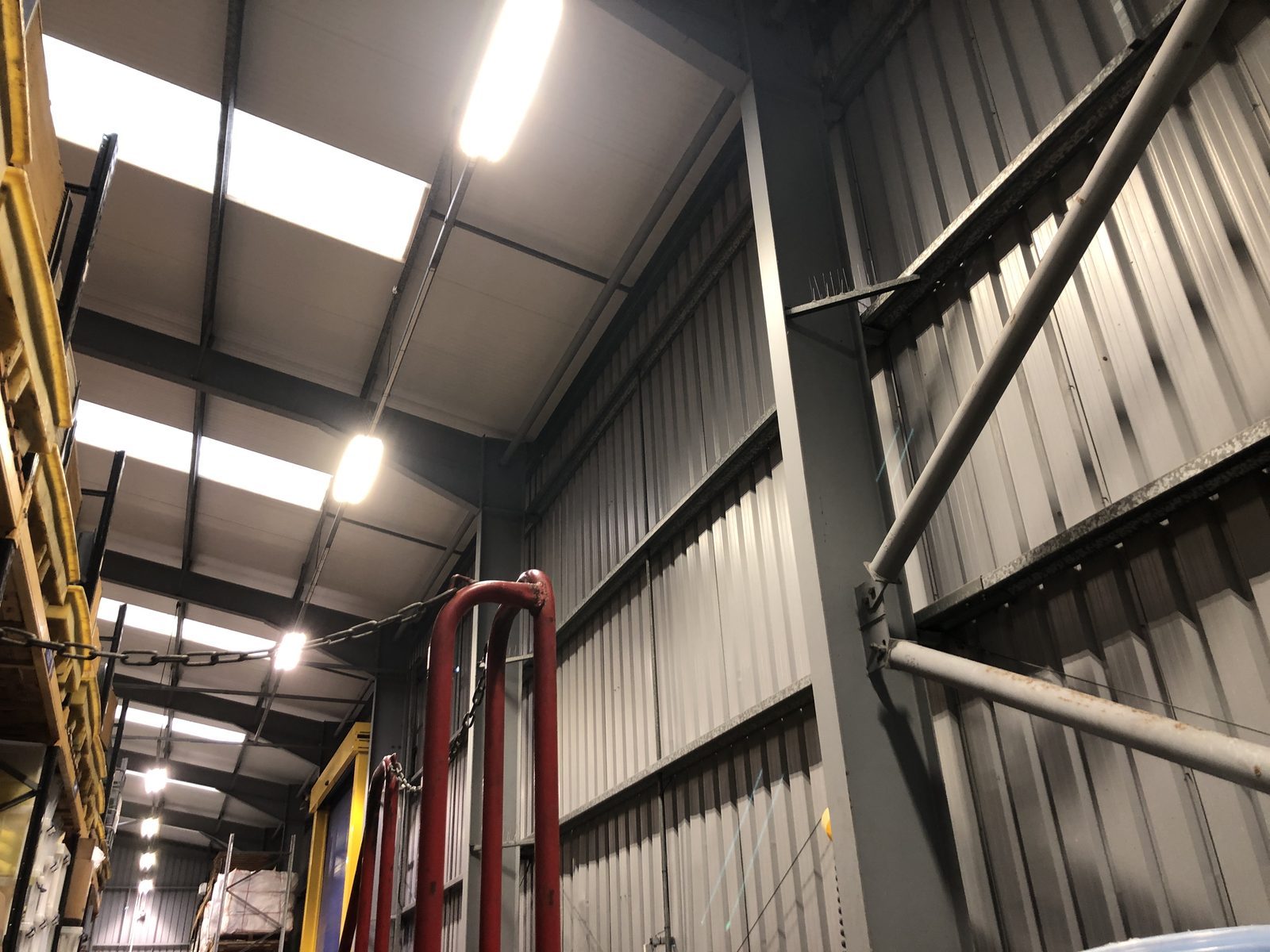
Drone-based roof condition assessments have become the standard delivery method for commercial rooftop surveys over the past five years. Faster, safer, and more data-rich than traditional walkover inspections, drone surveys can capture the full condition of a commercial roof in hours rather than days, and produce a clearly documented defect record that is far more useful for subsequent engineering decisions than a written walkover report.
This article directly compares drone and traditional walkover inspection approaches across the criteria that matter for commercial solar pre-installation surveys: coverage, defect detection, safety, programme impact, and output quality.
Traditional Walkover Inspection: The Baseline
A traditional roof condition inspection involves a surveyor physically walking the roof surface, conducting a close-range visual inspection, and recording defects with photographs and notes. This method has served the construction and property industry for decades and remains the appropriate approach in certain circumstances, but for large commercial rooftops, its limitations have become increasingly significant.
Coverage: A walkover surveyor can inspect approximately 800-1,200 m² of roof per hour in accessible areas. For a 5,000 m² warehouse roof, this represents half a day of survey time, plus mobilisation and demobilisation. For a 20,000 m² distribution centre, a thorough walkover survey may require 2-3 days.
Access requirements: Walkover surveys require formal Work at Height risk assessments, safety line systems (on roofs above 2m), and may require temporary edge protection or scaffold for roofs with complex geometry or limited safe access routes. These requirements add cost and programme time beyond the surveyor's own time on site.
Fragile area risk: Many commercial roofs contain fragile rooflights, degraded cladding, or areas of low load-bearing capacity. Walkover inspections on roofs with fragile areas require fragile area identification surveys before access, and any fragile areas found during the survey must be avoided, creating survey gaps that may miss significant defects in those locations.
Output: Traditional walkover reports are typically written condition reports with attached photographs. Defect locations are described verbally ("at the south-east corner, adjacent to the drainage outlet") or shown on hand-annotated roof plans. This format is time-consuming to produce and difficult to compare with subsequent surveys to track deterioration.
Drone Condition Assessment: The Methodology
A drone condition assessment deploys a UAV (unmanned aerial vehicle) equipped with high-resolution optical cameras and, typically, thermal cameras. The drone systematically covers the roof area in overlapping flight lanes, capturing high-resolution imagery that documents the full roof surface in detail.
Coverage: A drone can cover 5,000-10,000 m² per hour of flight time. A full 5,000 m² roof survey is typically completed in two to three hours including setup, flight, and post-processing. A 20,000 m² roof is completed in a single day.
Access requirements: No roof access is required for the drone flight itself. The pilot operates from ground level; the drone accesses the roof from the air. This eliminates Work at Height risks for the surveyor and avoids the fragile area access problem entirely.
Image detail: An 8K resolution drone camera captures the roof surface in high detail. Defects such as cracks in roofing felt, splits in metal cladding, failed sealant joints, and corrosion on metalwork are visible and distinguishable in this imagery.
Thermal imaging: Simultaneously with visual imaging, thermal cameras detect temperature anomalies that indicate trapped moisture in insulation, delaminating membranes, and drainage blockages. These defects are invisible in visual surveys but are critical for solar pre-installation assessments, moisture within insulation increases dead load and indicates membrane failure that must be addressed before solar installation.
Traditional walkover inspection
- Full roof inspection: 1-3 days for 5,000-20,000 m²
- Roof access required, Work at Height compliance
- Cannot inspect fragile areas
- No moisture detection capability
- Output: written report + photographs
- Defect locations described in text
- Limited to visual defects
Drone condition assessment
- Full roof inspection: 3-6 hours for 5,000-20,000 m²
- No roof access required
- Full roof coverage including fragile areas
- Thermal imaging for subsurface moisture
- Output: full photographic condition record + thermal imagery
- Located visual and thermal defect record
- Visual + thermal defect detection
Defect Categories and Detection Comparison
For pre-solar installation roof condition assessment, the relevant defect categories and how each survey method addresses them:
Surface membrane failures: Splits, cracks, blisters, and open joints in roofing membrane. Drone visual survey: detects surface-visible failures at 8K resolution. Walkover: detects same failures plus tactile assessment (feeling for soft spots). Drone advantage: full coverage without missing fragile areas; walkover advantage: tactile confirmation for ambiguous cases.
Ponding and drainage issues: Standing water on flat roofs, blocked drainage outlets, and low spots. Drone visual survey: identifies existing ponding and low spots from aerial perspective (difficult from roof surface level). Walkover: limited perspective for drainage pattern identification. Drone advantage: significantly better for drainage assessment.
Moisture in insulation: Trapped water in roof insulation, the most damaging form of latent defect. Drone thermal survey: detects moisture through post-sunset temperature differentials. Walkover: no detection capability without thermal equipment. Drone advantage: unique capability, not available through walkover.
Structural element condition: Corrosion of metal cladding ribs, cracked or broken purlins visible through rooflights. Drone visual survey: detects surface corrosion and visible structural damage from above. Walkover: detects same plus internal access (if available). For detailed structural inspection, intrusive survey (internal access) is required regardless of survey type.
Fragile area identification: Rooflights, degraded panels, and weak areas. Drone visual survey: identifies rooflights and visibly degraded areas from safe distance. Walkover: cannot safely inspect fragile areas once identified. Drone advantage: safe identification of fragile areas before any human access.
Data Quality and Engineering Utility
The output format of a drone survey provides significant advantages over a walkover report for engineering decision-making:
Full photographic coverage: A complete high-resolution visual record of the roof, with defects identified and referenced to their location on the roof. Structural engineers can relate the documented defects to the purlin positions on the structural drawings and consider where defects sit relative to structural elements. This is far harder with a written walkover report.
Thermal imagery: Moisture anomalies identified and referenced to their location on the roof. Structural engineers can assess whether moisture-affected areas coincide with structural elements (particularly valley gutters and eaves connections) that may be experiencing accelerated corrosion.
Repeat surveys: Subsequent drone surveys of the same roof produce a consistent visual record that can be compared to identify deterioration between survey dates. Walkover reports cannot be reliably compared because inspector perspective, lighting conditions, and coverage vary between visits.
Array layout co-ordination: The solar array layout designer can relate the proposed panel positions to the documented defect areas, drainage channels, or fragile zones to confirm that panels are not positioned over them. This is a critical quality check that walkover reports cannot support.
When Traditional Walkover Inspection is Still Appropriate
Drone surveys are not universally superior. Walkover inspections remain appropriate in specific contexts:
- Small roofs with easy access: For roofs below 500 m² with safe flat-roof access, a walkover inspection may be faster and cheaper than a drone mobilisation.
- Detailed investigation of specific defects: Where a drone survey has identified an anomaly that requires close-range confirmation, probing a suspected soft spot, checking a drainage outlet interior, measuring a crack width, a targeted walkover inspection of that specific location supplements the drone data.
- Internal condition assessment: Drone surveys cannot access building interiors. Where the condition of the roof structure from below (purlin condition, internal corrosion, connection details) is required, an internal inspection is needed regardless of the external drone survey.
- Sites with airspace restrictions: Flight Restriction Zones (FRZ) around aerodromes, and some other restricted airspace designations, prohibit drone flight. In these locations, walkover inspection or specialist CAA-permitted operations are required.
Integrating Drone Survey into the Solar Pre-Installation Programme
For commercial solar projects, the optimal integration of drone survey into the programme is at the feasibility stage, early enough that the roof condition data can influence the project scope and commercial case before design investment is made.
A drone survey at feasibility provides:
- Evidence of any membrane failures that require repair or replacement before solar installation, affecting project cost and timeline
- Drainage pattern data for array layout design, informing panel row positioning relative to drainage channels
- Moisture detection for insulation condition, informing the structural engineer's assessment of effective roof dead load (water-saturated insulation is significantly heavier than dry)
- Fragile area identification for safe survey access planning and array layout exclusion zones
A structural engineer who receives drone survey data alongside the structural drawings instruction can conduct a more targeted and reliable desktop assessment, one that accounts for actual roof condition, not just the structural frame capacity in isolation.
Decision Matrix: When to Use Each Approach
The choice between drone and walkover for any specific pre-installation survey is a risk-weighted decision, not a blanket preference for either method. The following decision matrix provides a structured way to select the appropriate approach:
Use drone survey when: Roof area exceeds 1,500 m² (economies of scale favour drone over walkover); fragile roof areas are suspected (drone avoids placing surveyors at risk); moisture detection is required (only achievable via thermal imaging); a full photographic condition record is needed for array layout co-ordination; the roof has complex geometry or limited safe access points; or programme is tight and the survey must be completed in a single day.
Use walkover when: Roof area is below 500 m² with easy flat-roof access; the survey needs to confirm specific point conditions (structural member condition, drainage outlet interior, probe test of a soft spot); the site is in an airspace restriction zone that prevents drone flight; or the survey is supplementing a prior drone survey to investigate specific anomalies identified in the thermal or visual imagery.
Use combined (drone plus targeted walkover) when: The drone survey identifies anomalies that require close-range confirmation; the structural assessment requires direct measurement of accessible structural elements; or specific areas of the roof are not accessible to the drone (recessed areas, overhangs, areas under plant clearance restrictions).
Working at Height Safety: Why Drone Surveys Change the Risk Profile
The Working at Height Regulations 2005 require employers and those in control of work at height to ensure that all work at height is properly planned, appropriately supervised, and carried out in a safe manner using equipment suitable for the task. Traditional rooftop inspections for commercial buildings require the surveyor to access the roof, which creates a working at height obligation that must be managed through documented risk assessment, method statement, and provision of appropriate access equipment and fall protection.
On commercial rooftops, particularly large industrial buildings with roof areas measured in thousands of square metres, unguarded roof edges, fragile roof sections (fibre-cement or asbestos cement sheeting), and limited or no permanent access provision, managing the working at height risk for a traditional inspection is a significant undertaking. Temporary scaffolding, MEWP hire, or specialist rope access may be required for safe access to all areas of the roof, and the cost and programme impact of providing this access can exceed the cost of the inspection itself.
A drone survey eliminates the surveyor’s working at height exposure entirely. The drone operator remains at ground level throughout, and the drone accesses all areas of the roof that are within the planned flight envelope without any human physical access to the roof surface. For fragile or deteriorated roof sections where traditional inspection would require specialist access arrangements, drone survey is not just more efficient, it may be the only practically viable assessment method without disproportionate cost and programme impact.
The health and safety benefit of drone surveys is particularly significant for surveys conducted on behalf of asset managers and property investors who do not have operational control of the buildings in their portfolio. Requiring tenants to provide working at height facilities for a periodic roof condition survey creates a consent and coordination burden that drone surveys avoid. The building can be surveyed externally with no requirement for building access, tenant disruption, or working at height planning beyond the drone operator’s standard pre-flight risk assessment.
Cost-Benefit Analysis Across Different Building and Survey Contexts
Drone surveys are not universally more cost-effective than traditional inspections, the cost-benefit balance depends on the building type, roof area, access requirements, and the scope of information required. Understanding where drone surveys deliver the strongest cost-benefit case allows developers and asset managers to select the most appropriate method for each scenario rather than applying either approach as a default.
Drone surveys deliver the strongest cost-benefit case for: large industrial roofs above 5,000 m² where traditional inspection would require significant access equipment; flat roofs or low-pitch metal roofs where walking the roof would require extensive fall protection; buildings where tenants or occupiers cannot accommodate the disruption of traditional inspection; portfolios where multiple buildings can be surveyed in sequence on a single mobilisation; and pre-installation solar surveys where comprehensive photographic coverage of the entire roof surface is required to identify defects across the full array area.
Traditional inspection delivers better value for: small roofs where access can be safely obtained using a standard extension ladder or fixed access provision; buildings requiring sub-surface assessment such as sound testing, membrane probing, or structural element checking that a drone camera cannot perform; historic or heritage buildings where the surveyor’s professional judgment on material authenticity and repair specification requires physical proximity; and situations where the client specifically requires a surveyor’s physical presence for stakeholder or insurance reasons.
For most standard commercial solar pre-installation surveys on industrial buildings above 3,000 m², the drone survey delivers better value than traditional inspection: lower access cost, faster programme, comparable or superior image coverage of roof surfaces, and no disruption to building occupiers. The decision framework is straightforward: if the survey scope is primarily visual condition assessment of the roof surface, drone is the appropriate tool. If it requires physical testing, material sampling, or sub-surface investigation, traditional methods must be incorporated alongside or instead of the drone survey.
Report Format and Deliverables: Comparing Survey Outputs
The deliverables from a drone roof condition survey and a traditional inspection differ in format and content in ways that affect how the output is used downstream. Understanding these differences allows project managers and asset managers to specify the survey deliverables that meet their actual needs rather than accepting a default output format that may not be fit for purpose.
A drone survey report typically includes: an annotated aerial image showing the complete roof plan with defect locations marked and referenced; a defect schedule listing each identified defect by reference number with type, severity, and location description; and a photographic appendix providing high-resolution images of each identified defect. The geolocated defect marking on the aerial image is a significant practical advantage over traditional inspection reports, which typically describe defect locations verbally in relation to identified features that may not be immediately recognisable to a maintenance contractor unfamiliar with the specific roof.
A traditional inspection report may include physical measurements, material samples, sound testing results, and observations of structural elements that are not accessible from above. Where these additional data types are required, for example, confirming the integrity of a flat roof membrane by sound testing, or checking the condition of roof structural steelwork, the traditional report will contain information that no drone survey can replicate. The choice of survey method should therefore be driven by the specific questions the survey is designed to answer, and in some cases a combined approach, drone survey for surface condition assessment followed by targeted physical investigation of specific areas identified as concerning, provides the most complete picture at the most efficient cost.
For commercial roofs above 2,000 sq ft, drone survey consistently identifies more defects per inspection than ground-level survey because the overhead perspective reveals drainage gradient failures, surface delamination, and fastener corrosion patterns that are invisible from ground level. For individual defect investigation, where the defect location is already known and a close-up condition assessment is required, access-platform or rope-access inspection provides the tactile detail that drone survey cannot. The two methods are complementary, not competing: drone survey for initial coverage, traditional inspection for targeted follow-up on identified defects.
WHERE SOLAR SURVEYS ADDS VALUE
DRONE AND TRADITIONAL SURVEYS, SPECIFIED FOR EACH SCOPE
Solar Surveys delivers both drone roof condition surveys and traditional on-site structural inspections, selecting the most appropriate method for each building and scope. For pre-installation solar surveys on standard commercial industrial buildings, drone assessment provides complete roof surface coverage without working at height risk and without disruption to occupiers. Where sub-surface investigation or structural element inspection is required, on-site surveys are specified accordingly. Combined drone-and-structural report packages are available for projects requiring both outputs.
CLIENT PROFILE
An asset manager required pre-acquisition roof condition surveys for eight logistics buildings in a portfolio transaction. Traditional inspection had been provisionally scoped but the access cost across eight buildings, four of which were fully occupied with working at height constraints, was projected to add 12 days to the survey programme and significant cost in temporary access equipment. Switching to drone surveys for surface condition assessment of all eight buildings, with targeted traditional inspection of two buildings where specific sub-surface concerns were identified in the drone footage, reduced the overall programme by nine days and total survey cost by 34% while meeting the lender’s technical due diligence requirements.
THE STRUCTURAL TRINITY
Three Reports That Clear a Commercial Solar Site for Installation
READY TO COMMISSION
Get a Quote in 24 Hours.
Structural surveys, Desktop Structural Roof Loading Reports, drone assessments and solar design packages, delivered to a 48-hour benchmark.
Get a Quote